

1800
landscape
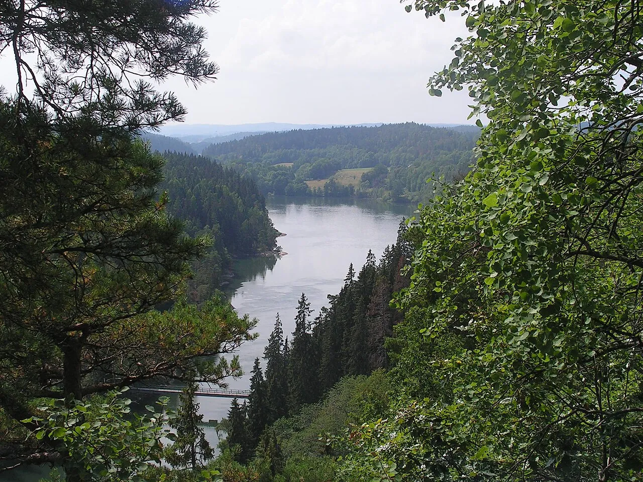
The Trollhätte Canal is 82 km long, albeit only 10 km of it is manmade, the rest of its watercourse it was laid out through the riverbed of the Göta Älv river. The highest point of the Trollhätte Canal is at the Lake Vänern - 44.10 m a.s.l. …
On the map
Keep exploring
Discover more places in Trollhättan